|
|
|||||||||||||||||||||
 |
|

|
|||||||||||||||||||
ERS Satellite
|

|
||||||||||||||||||||
|
RETURN TO TOP or Search for more information... * The custom search only looks at Rader's sites. |
||||||||||||||||||||
©copyright 1997-2015 Andrew Rader Studios, All rights reserved. Current Page: Cosmos4Kids.com | Real World Astronomy Examples and Images |
|||||||||||||||||||||
|
|
|||||||||||||||||||||
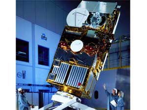 Image 1:
 Image 2: